

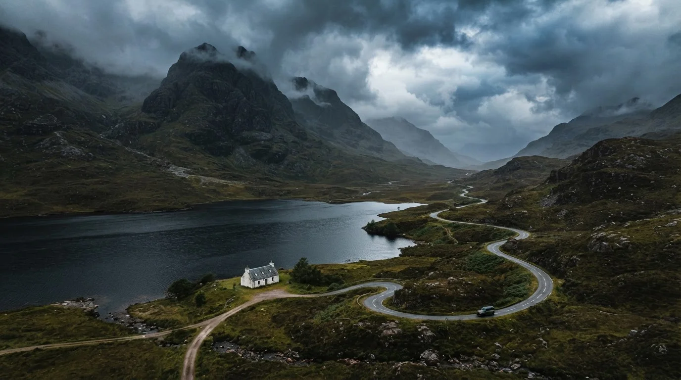
Understanding the Scale and Terrain
The Scottish Highlands cover roughly 10,000 square miles of mainland Scotland — more than a third of the country's total land area — yet the population sits below 250,000. That ratio is the first thing independent travellers need to internalise. Distances on a map routinely underestimate actual travel time because the roads between those distances rarely run straight.
Terrain varies considerably. The northwest features dramatic sea lochs, quartzite peaks, and ancient Torridonian sandstone formations among Europe's oldest exposed rock. The Cairngorms plateau in the east is a high Arctic-alpine environment, while the Great Glen cuts diagonally across the region following a fault line that created Loch Ness and several other major lochs. Understanding these geographic zones helps you set realistic daily distances and choose experiences that suit your fitness level and interests.
~10,000
Square miles in the Scottish Highlands
The Highlands cover more than a third of Scotland's total land area, according to Visit Scotland regional data.
<250,000
Population of the entire Highland region
According to Scotland's 2022 census, making it one of the most sparsely populated regions in Europe.
57,000
Gaelic speakers in Scotland
Recorded in the 2022 Scottish Census, primarily concentrated in the Western Isles and parts of Skye.
Roads, Driving Conditions, and Getting Around
Driving is the most practical way to explore independently. A significant proportion of Highland roads are single-track with passing places — narrow lanes just wide enough for one vehicle, with designated lay-bys where drivers yield to oncoming traffic. Etiquette matters: pull into a passing place on your left, or reverse to the nearest one behind you. Tailgating to rush other drivers is both unsafe and socially frowned upon.
Average speeds on single-track roads typically fall between 25–40 mph, even on a clear day. Budget roughly 45–60 minutes per 25 miles on rural Highland roads rather than using motorway estimates. Before any long drive, revisit your vehicle basics — our pre-road-trip checklist covers tyres, fluids, and emergency supplies worth confirming. If you're weighing whether to take the scenic coastal route versus the faster A-road corridor, the scenic routes vs. highways guide offers a useful decision framework.
Carry Physical Maps as a Backup
Ordnance Survey Landranger or Explorer maps cover the Highlands in detail and cost a few pounds each. In areas where mobile signal drops entirely — which happens regularly in deep glens — a paper map and compass are not optional extras. Purchase relevant sheets before you leave a major town.
Public transport exists but is limited. Citylink and regional operators serve main corridors; the Far North and Kyle of Lochalsh railway lines are scenic and practical for specific routes. Ferries operated by CalMac connect the mainland to the Western Isles. Always verify current timetables directly with operators before travel, as schedules change seasonally.
Weather Realities and Seasonal Planning
Highland weather is famously changeable. A sunny morning on Ben Nevis can become a white-out by early afternoon. The west coast receives considerably more rainfall than the east — Torridon averages over 100 inches of rain annually, while Inverness averages closer to 25. Prevailing Atlantic fronts move through quickly, meaning a wet morning frequently clears by midday.
Check the Mountain Weather Information Service (MWIS) forecast — not just a general weather app — before any day walk above 600 metres. Summit conditions can differ dramatically from valley readings.
MWIS provides specialist hill forecasts used by mountain rescue teams and experienced hillwalkers across Scotland, making it far more reliable for elevated terrain than standard consumer apps.
Pack a midge net and a DEET-based repellent if travelling between late May and August — and plan strenuous outdoor activity for breezy or drier days when midges are least active.
Highland midges (Culicoides impunctatus) can make outdoor evenings genuinely miserable in still, humid conditions; local forecasts from sites like smidgeup.com use weather data to predict midge activity levels.
Each season has genuine trade-offs. May and June offer longer daylight hours (up to 18 hours near midsummer), relatively stable weather, and fewer midges than high summer. July and August bring the most visitors and the worst midge concentrations. September and October deliver stunning autumn colour with noticeably thinner crowds. Winter offers atmospheric solitude and potential snow on the peaks but requires careful planning — some roads close, and daylight drops to under seven hours.
Don't Underestimate Highland Winter Driving
Snow, ice, and reduced visibility can affect Highland roads from October through April. Some remote roads are not gritted and can close without warning. Check Traffic Scotland's road condition updates before travelling in shoulder or winter seasons, and ensure your vehicle is equipped for adverse conditions. Verify entry requirements with official sources before travel, as conditions can change rapidly.
Villages, Facilities, and Staying Connected
Smaller Highland settlements — Kinlochewe, Shieldaig, Durness — may consist of little more than a community hall, a post office open three days a week, and a single small shop. Fuel stations are sparse in the far northwest; it is entirely practical to go 50+ miles between pumps. Fill up in larger service towns and carry a mental note of the next reliable stop.
Mobile coverage is improving but remains inconsistent. EE historically offers the widest rural coverage in Scotland, though no carrier guarantees signal in deep glens or on remote coasts. Download offline maps via apps such as OS Maps or maps.me before departing. This is especially important for solo travellers who cannot rely on a companion for navigation backup.
Emergency Services in Remote Areas
In parts of the northwest Highlands with no mobile signal, a Personal Locator Beacon (PLB) is a worthwhile investment for walkers and remote campers. In an emergency without phone coverage, calling 999 and asking for Police Scotland Mountain Rescue is the standard procedure — even a weak signal can sometimes connect. Always leave a route plan with someone not on the trip.
Accommodation ranges from independent hostels and bunkhouses to family-run B&Bs and self-catering cottages. In peak season, book several months ahead for popular areas like Glencoe, Skye, and Ullapool. Wild camping is legally permitted under the Land Reform Act, but it comes with Leave No Trace obligations.
Cultural Context and Responsible Travel
The Highlands carry a complex history. The Highland Clearances of the 18th and 19th centuries forcibly displaced tens of thousands of Gaelic-speaking communities to make way for sheep farming, leaving a landscape that can appear naturally empty but is in fact historically shaped. This context matters when visiting estate land, ruined townships like those on Strathnaver, or monuments to emigrant communities.
Scottish Gaelic remains a living language — around 57,000 speakers according to the 2022 census — most concentrated in the Western Isles (Na h-Eileanan Siar) and parts of Skye. Bilingual road signs are the norm across much of the region. Showing curiosity and respect for this linguistic heritage is always well received.
“The right of access is not an unconditional right. It must be exercised responsibly, taking account of the needs of other people and the environment.”
— Scottish Natural Heritage (now NatureScot), Scotland's nature agency, publishers of the Scottish Outdoor Access Code
Responsible access under the Land Reform (Scotland) Act 2003 grants walkers, cyclists, and wild campers legal rights over most land, provided they act responsibly: avoid disturbing livestock, leave no waste, and follow the Scottish Outdoor Access Code. This is not a free-for-all — it is a trust-based framework that depends on visitor behaviour to remain intact.
Planning Your Independent Highland Trip
Build more time into your itinerary than you think you need. Most travellers underestimate distances, overestimate daily driving ranges, and miss the best moments — a sea eagle overhead, an impromptu conversation at a crofter's gate — by rushing between checklist sights. A week is a reasonable minimum for a meaningful circuit; two weeks allows genuine depth.
Use our pre-trip checklist to confirm documents, bookings, and logistics before departure. For travellers planning more challenging outdoor elements — multi-day hikes, winter ascents, or kayaking expeditions — the adventure travel planning framework provides a thorough end-to-end approach from destination selection through post-trip debrief.
Verify All Entry, Safety, and Permit Details Officially
Road conditions, ferry timetables, estate access restrictions during the stag stalking season (August–October), and any local bylaws can all affect your plans. Always verify current information directly with Transport Scotland, estate offices, and the relevant ferry operators before travel. Do not rely solely on guidebooks or travel blogs for safety-critical logistics.
The Highlands reward travellers who arrive informed and adaptable. Research conditions, respect local communities, and leave yourself enough slack to take the long way round when the road ahead looks too beautiful to rush.
The content on this site is for informational purposes only and is not a substitute for professional advice. Always consult a qualified professional for guidance specific to your situation.