

Our Verdict
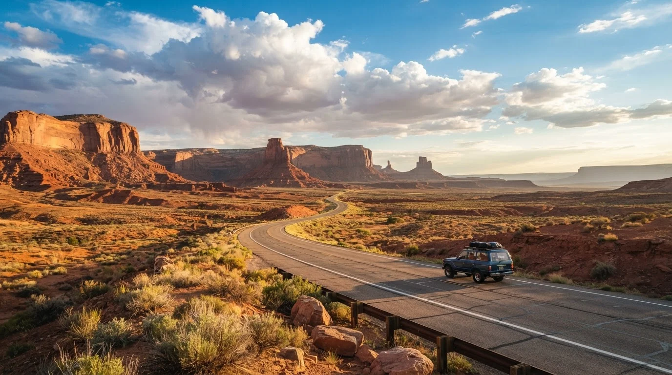
The American Southwest is one of the few road trip regions where the journey between destinations is as compelling as the destinations themselves. Slowing down isn't just a lifestyle preference here — it's a practical response to the region's scale, remoteness, and geological richness. That said, it requires flexible scheduling and a realistic budget.
Travelers who value depth over coverage and are willing to trade a packed itinerary for experiences that genuinely can't be rushed.
Why the Southwest Is Different from Other Road Trip Regions
Most road trip regions reward efficient movement — a coastal drive or a national park loop can be done at pace without sacrificing much. The American Southwest defies that logic. The distances between major landmarks in Utah, Arizona, New Mexico, and Nevada are genuinely vast, and the terrain changes so dramatically over short stretches that blitzing through on an interstate means watching extraordinary geology blur past your window like a screensaver.
Understanding what makes this region distinct starts with scale. The distance from the Grand Canyon's South Rim to Zion National Park alone is roughly 170 miles, but that corridor contains slot canyons, ancient pueblo ruins, volcanic fields, and desert wetlands that most drivers on a tight schedule never see. As our guide to what defines a true road trip explores, long drives carry their own rhythms and demands — and the Southwest amplifies both.
~170 mi
Grand Canyon South Rim to Zion National Park
A commonly driven Southwest corridor that contains dozens of recognized natural and cultural sites most travelers pass without stopping.
5
National parks in Utah's 'Mighty Five' circuit
Arches, Bryce Canyon, Canyonlands, Capitol Reef, and Zion span roughly 500 miles of driving and are frequently attempted in three to four days — a pace most park rangers consider insufficient.
The Case for Slowing Down: What You Actually Gain
Slower travel in the Southwest isn't romantic indulgence — it's a practical unlock for the region's real offerings.
Roadside geology reveals itself only at slower speeds
The Colorado Plateau's layered formations — visible in cliff faces, washes, and roadcuts — tell a 300-million-year story that passes in seconds at highway pace. Stopping even briefly at unmarked pullouts offers context no visitor center display can replicate.
Wildlife sightings increase dramatically with patience
Pronghorn, California condors, desert tortoises, and bighorn sheep are present throughout the region but largely invisible to fast-moving traffic. Dawn and dusk drives on secondary roads significantly raise encounter rates.
Permit-required sites become accessible
Some of the Southwest's most iconic locations — including certain slot canyons and backcountry areas — require advance permits that only make logistical sense if you're not trying to cover five parks in four days.
Indigenous cultural sites reward unhurried attention
Ancestral Puebloan ruins, petroglyphs, and living Navajo and Hopi communities are scattered throughout the region. These sites deserve respectful, unhurried engagement — not a quick stop between GPS waypoints.
Weather windows become navigable, not obstacles
Afternoon monsoon season storms in July and August can close canyon trails with little warning. A flexible itinerary lets you shift plans around conditions rather than push through them unsafely.
Many of the Southwest's most striking experiences require time commitments that a packed itinerary simply can't accommodate. Permits for popular slot canyons like The Wave in Arizona's Vermilion Cliffs are issued by lottery months in advance. Sunrise at Mesa Arch in Canyonlands demands an early start that conflicts with covering maximum ground the same day. Choosing scenic routes over highways multiplies these opportunities further — the stretch of US-89 through the Arizona Strip is a masterclass in what interstate travel erases.
The Real Costs of Going Slow
Slower travel is not without its genuine downsides, and pretending otherwise doesn't help anyone plan honestly.
Significantly higher lodging and fuel costs
Gateway towns near major Southwest parks often carry premium pricing for accommodation. Additional nights multiplied across a two-week trip can add hundreds of dollars compared to a faster route.
Requires substantial time most travelers don't have
A genuinely slow Southwest road trip — one that does justice to Utah's five national parks plus the Arizona borderlands — realistically demands ten to fourteen days minimum, which is beyond most Americans' vacation allotment.
Extreme heat limits outdoor activity windows
In summer, the window for safe outdoor hiking in many low-elevation areas is limited to early morning. A slower itinerary doesn't eliminate this constraint — it just allows you to plan around it more effectively.
Remote areas have limited services and infrastructure
Long gaps between fuel stops, unreliable cell coverage, and few roadside assistance options mean that slow travel in the Southwest requires more logistical preparation, not less, than a typical road trip.
Budget is the most immediate constraint. Adding two or three extra nights in gateway towns — which often have limited accommodation options — raises trip costs noticeably. The myth that driving straight through saves the trip is real in one narrow sense: it does save money on lodging. The question is what you've actually saved toward.
Time constraints are equally legitimate. Not every traveler has a week to spare for a single corridor. If you're weighing a compressed Southwest loop, the same instincts that undermine city travel when rushed — chasing landmarks, skipping transit time, over-scheduling — apply here too, just at a much larger scale.
Practical Considerations Before You Go
Whatever pace you choose, the Southwest demands specific preparation that softer road trip regions don't.
Verify Conditions Before You Travel
Road closures, permit lotteries, seasonal access restrictions, and flash flood warnings change frequently across Southwest public lands. Always confirm current status directly with the National Park Service, Bureau of Land Management, or relevant tribal land authority before your trip. Do not rely solely on third-party apps or travel blogs for entry requirements or safety conditions, as these may not reflect real-time changes.
Remote stretches between parks can have no cell service for 50-plus miles. Water, fuel, and emergency supplies are not optional redundancies — they're baseline safety gear. Summer temperatures in low-elevation desert areas routinely exceed 110°F, which affects both vehicle performance and personal safety. Always check current conditions, road closures, and permit requirements directly with the relevant National Park Service unit or land management agency before your trip. For the Southwest in particular, conditions can shift quickly due to flash floods, wildfires, and seasonal access restrictions. Explore the full road trip planning hub for guidance on preparation, packing, and navigation strategies that apply across long-distance drives.
The content on this site is for informational purposes only and is not a substitute for professional advice. Always consult a qualified professional for guidance specific to your situation.