

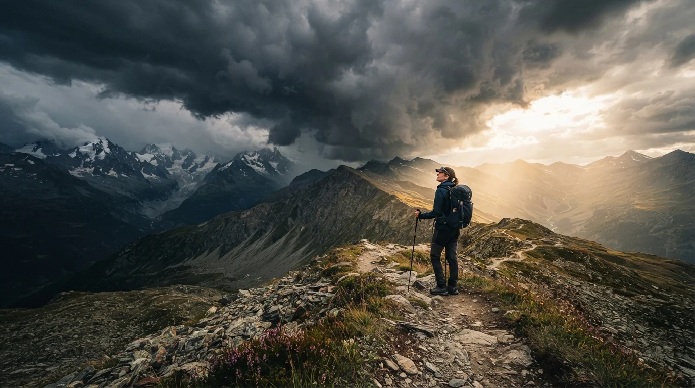
Why Trail Weather Demands Your Full Attention
Mountain and backcountry weather operates on a tighter, more volatile timeline than the forecasts most of us check at home. Afternoon thunderstorms can materialize within an hour over exposed ridgelines. A clear morning sky offers no guarantee of a clear afternoon. For hikers — especially those venturing into solo terrain — the ability to read atmospheric cues in real time is a genuine safety skill, not an optional extra.
Weather awareness doesn't require a meteorology degree. It requires attention, a few key pieces of knowledge, and the discipline to act on what you observe. The natural environment gives you plenty of signals — the challenge is learning to notice and interpret them before conditions deteriorate.
Reading Clouds: The Sky's Most Visible Language
Clouds are the most accessible weather tool available to any hiker. Understanding a handful of cloud types can give you a meaningful head start on changing conditions.
Learn to distinguish cumulus from cumulonimbus clouds before you leave the trailhead.
Towering cumulonimbus clouds — often anvil-shaped at the top — are the direct precursors to thunderstorms. Mistaking them for ordinary fair-weather cumulus clouds is one of the most common errors hikers make. Early identification allows you to plan a descent before conditions become dangerous.
Watch for the darkening base of clouds as an indicator of precipitation intensity.
The darker and lower the base of a cloud, the greater the water content and the more likely it is to produce heavy rain, hail, or lightning. A cloud base dropping toward ridgeline level signals an urgent need to move to lower elevation.
Note lenticular clouds over peaks as a sign of high-altitude instability and strong winds.
Lenticular clouds — smooth, lens-shaped formations capping summits — indicate significant wind shear at altitude even when conditions feel calm at lower elevations. They are particularly common in the Cascades, Rockies, and Sierra Nevada. Summit attempts made under lenticular clouds often encounter unexpected high winds.
Pay attention to stratus cloud layers thickening and lowering throughout the morning.
A low, gray overcast that was once high and thin but progressively thickens and descends is a classic signal of an approaching warm front carrying persistent rain or snow at elevation. This pattern unfolds more slowly than convective thunderstorms but can still trap hikers in whiteout or hypothermia-risk conditions.
Treat sudden, unexplained stillness — no wind, no birdsong — as a potential storm precursor.
An abrupt calm in an otherwise breezy environment can indicate that a pressure system is reorganizing ahead of a front. Wildlife often go quiet before significant weather events, a pattern many experienced hikers and naturalists note anecdotally, though it should be treated as one signal among several rather than a definitive forecast.
For hikers in high-elevation terrain, this skill pairs well with understanding how elevation affects conditions — the higher you climb, the faster developing storms can engulf you.
Wind, Pressure, and Temperature as Early Warnings
Clouds are visible from a distance, but wind and temperature shifts often arrive as the first truly felt warning signs. A sudden wind direction reversal — especially a shift from southwesterly to northwesterly in the continental US — can signal an approaching cold front. Equally telling is a rapid temperature drop even under partially clear skies.
~25 minutes
Average storm development time over mountain terrain
According to the National Weather Service, mountain thunderstorms can develop from clear sky to lightning activity in as little as 20–30 minutes on summer afternoons.
80%
Lightning deaths occurring in open or elevated terrain
The National Lightning Safety Council notes that a large proportion of lightning fatalities occur on or near ridgelines, summits, and open meadows — the exact terrain hikers frequent.
A falling barometric pressure trend over several hours almost always indicates incoming unsettled weather. While most hikers don't carry a barometer, some GPS watches and outdoor-focused devices now include altimeter-barometer functions — worth knowing how to use before departure. Always verify conditions through official meteorological services before your trip and check again the morning you set out.
Forecasts Are a Starting Point, Not a Guarantee
Trail weather can deviate sharply from even excellent forecast models, particularly above treeline. Always check official sources such as the National Weather Service point forecast for your specific trailhead coordinates before departing, and treat the forecast as context — not certainty. Conditions on the ground demand ongoing observation throughout your hike.
Quick Actions When Weather Turns
Recognition is only useful if it triggers action. The moment you identify two or more converging warning signs, it's time to make decisions — not wait for confirmation. Descend from ridgelines and summits, seek lower elevation and tree cover away from isolated tall trees, and avoid open meadows, lakeshores, and cliff faces during lightning risk.
For broader outdoor safety on the trail, it's worth reviewing responsible trail practices and backcountry safety habits — weather preparedness fits naturally alongside these core wilderness skills.
“The mountains have a weather of their own. No forecast replaces the discipline of watching the sky every hour you are above treeline.”
— Buck Tilton, Wilderness medicine educator and author on backcountry safety
The content on this site is for informational purposes only and is not a substitute for professional advice. Always consult a qualified professional for guidance specific to your situation.